1802 Matthew Flinders Map of Port Phillip Online Sale
Description
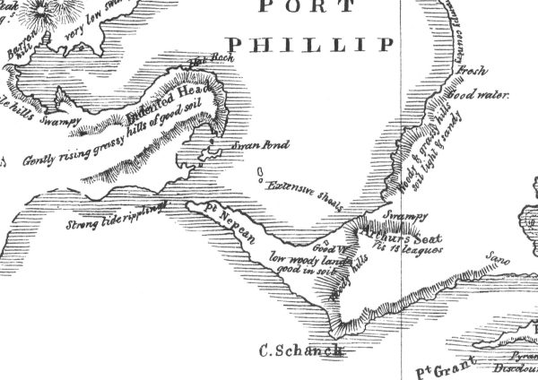
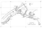
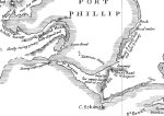
In 1802, Matthew Flinders, on the Investigator, was charting the southern coastline of Australia, when he entered an immense bay, which we now know as Port Phillip Bay.
Just 10 weeks earlier, acting Lieutenant John Murray commanding HMS Lady Nelson entered the Bay on the 14th February 1802 and named it Port King in honour of the Governor of New South Wales at the time, Philip Gidley King. On 4 September 1805, King formally renamed it Port Phillip, in honour of his predecessor Arthur Phillip.
Flinders surveyed the Bay and surrounding areas, and later incorporated parts of a more detailed survey carried out a year later by Charles Grimes.
All text © HotPress
This is a digitally retouched reproduction of the original held by the State Library of Victoria.
Our team of conservators have worked on a high resolution digital image in order to remove blemishes and artifacts such as stains, mould, scratches and damage caused by the handling of the original. We strive to provide authentic representations of the original work that are suitable for enlargements that retain the tones and character of the original.
Additional Information
| Title | Default Title |
|---|