

1860 Entrance to Port Phillip Chart Sale
Description
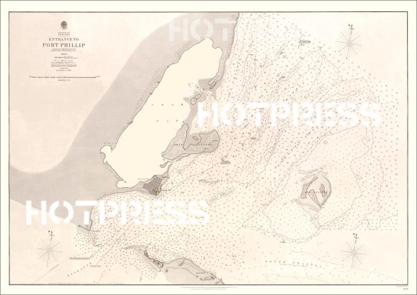
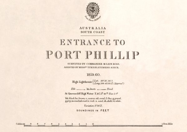
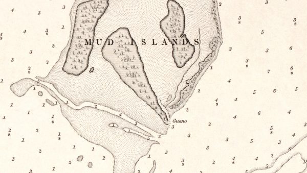
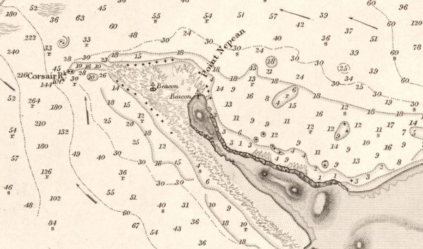
A reproduction of a chart published in 1860 showing the detailed information about the entrance to Port Phillip Bay.
The notes from the National Library of Australia tell us that this image is a Nautical chart of the entrance to Port Phillip Bay with relief shown by hachtures. Depth shown by bathymetric soundings. Other information is as follows Australia, South Coast, entrance to Port Phillip [cartographic material] surveyed by Commander M.G.H.W. Ross assisted by Messrs. Turton, Sturgess & Deck, 1859-60 ; engraved by J. & C. Walker.
This is a digitally retouched reproduction of the original held by the National Library of Australia. All prints are reproduced without the HOTPRESS watermarks.
Our team of conservators have worked on a high resolution digital image in order to remove blemishes and artifacts such as stains, mould, scratches and damage caused by the handling of the original. We strive to provide authentic representations of the original work that are suitable for enlargements that retain the tones and character of the original.
Additional Information
| Title | Default Title |
|---|